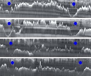
Ice-penetrating radar has revealed one of the last uncharted regions of Earth, an ice-buried lowland in East Antarctica larger than Texas, researchers say.
The map, created by U.S., U.K. and Australian researchers, reveals some of the largest fjords, or ice-cut channels, on Earth, providing important insights into the history of ice in Antarctica.
"We knew almost nothing about what was going on, or could go on, under this part of the ice sheet and now we've opened it up and made it real," said Duncan Young of the University of Texas at Austin's Institute for Geophysics.
The study has been published in this week's journal Nature.
The ICECAP project was a multinational collaboration using airborne geophysical instruments to study the ice sheet, a UT release reported Wednesday.
"We chose to focus on the Aurora Subglacial Basin because it may represent the weak underbelly of the East Antarctic Ice Sheet, the largest remaining body of ice and potential source of sea-level rise on Earth," Donald Blankenship, principal ICECAP investigator, said.
The basin lies well below sea level, allowing seawater to penetrate beneath the ice and cause portions of the ice sheet to collapse and float off to sea. The study shows the ice sheet has been significantly smaller in the past.
Computer models indicate the East Antarctic Ice Sheet grew and shrank often from about 34 million to 14 million years ago, sometimes causing sea level fluctuations of as much as 200 feet.
"We're seeing what the ice sheet looked like at a time when Earth was much warmer than today," Young said. "Back then it was very dynamic, with significant surface melting. Recently, the ice sheet has been better behaved."
