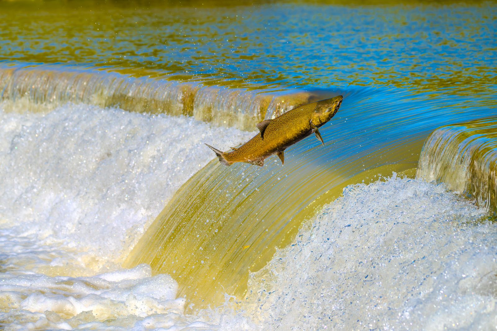
On the Kennebec River in central Maine, excavators cut into the Edwards Dam on 1 July 1999, and the impoundment behind it began to drain for the first time since 1837. The structure was 917 feet across and 24 feet high, a timber-crib and concrete wall that had held back 17 miles of river between Augusta and Waterville for 162 years. Its removal was the first time the United States government had ordered a working hydroelectric dam torn out against its owner’s wishes for the sake of a river. Within weeks, striped bass were hunting in water they had been shut out of since Martin Van Buren took office. Within a decade, alewives were running up the drainage by the million.
The Edwards removal became the template. It is the reason a wave of New England dam removals is now under way across Maine and southern New England, and the reason the four hydro dams still standing upstream on the Kennebec are, as of September 2025, under a signed purchase-and-sale agreement whose stated purpose is to take them down.
The dam that fell first
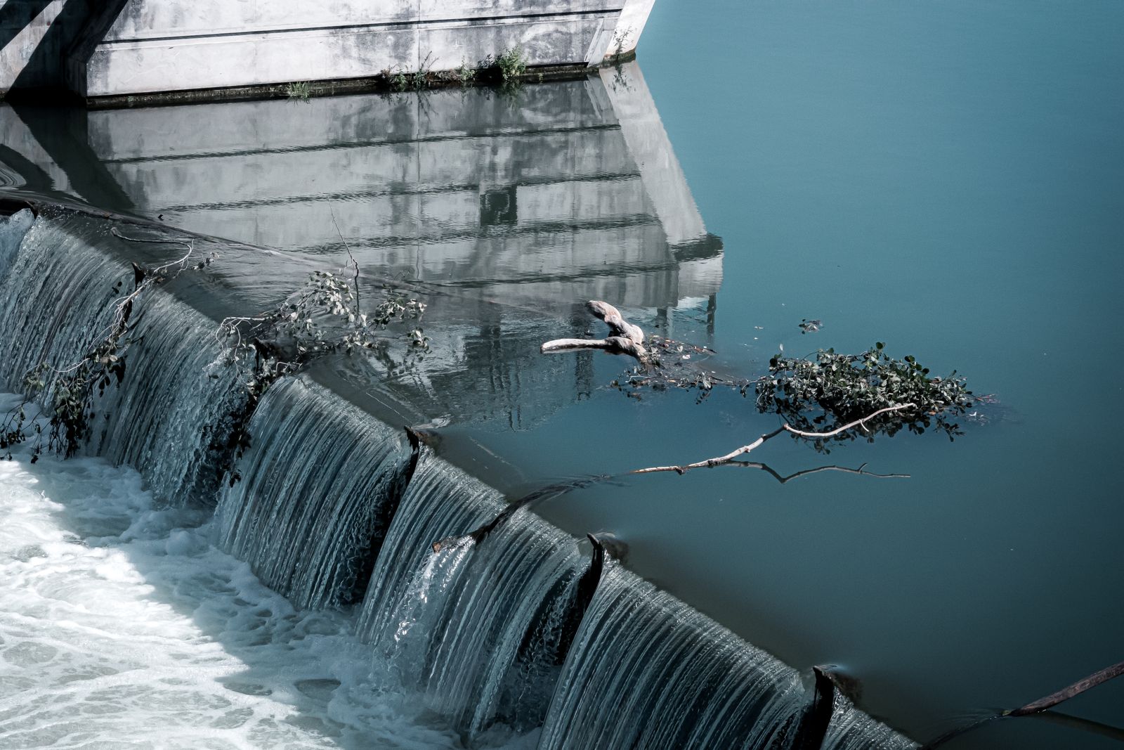
Edwards Dam was built in 1837 to power sawmills in Augusta, and later a textile complex that at its height employed several hundred people on the west bank. By the 1990s the plant was generating about 3.5 megawatts — a rounding error in the New England grid, enough for a few thousand homes.
When the dam’s Federal Energy Regulatory Commission licence came up for renewal, FERC did something it had never done before. In 1997 it declined to relicense the working hydro station and recommended that it be pulled out instead, on the reasoning that a free-flowing river was worth more than the electricity. The Kennebec Coalition — the Natural Resources Council of Maine, American Rivers, the Atlantic Salmon Federation and Trout Unlimited — had spent roughly a decade making that argument.
The breach itself was almost anticlimactic. Around a thousand people lined the banks in Augusta on the morning of 1 July 1999. A bell rang, Interior Secretary Bruce Babbitt and Governor Angus King among those in the crowd, and a machine bit into the temporary cofferdam sheltering a 60-foot gap already cut in the wall. Water trickled, then rushed.
Dropping the reservoir took a single tide cycle to begin and months to finish. The remaining 657 feet of the structure came out by hand and machine over the following year, the rubble used to plug the powerhouse intake and grade the site into a riverfront park.
What came back, and how fast
The recovery on the lower Kennebec has been documented run by run, and the clearest signal is the alewife. A river herring that spends most of its life at sea and returns to fresh water to spawn, the alewife had been functionally absent above Augusta. After Edwards came out, and after the Fort Halifax Dam on the Sebasticook tributary followed it in 2008, the numbers went vertical.
The fish lift at Benton Falls on the Sebasticook counted around 500,000 alewives in 2008. In 2025 the same site passed roughly nine million — the largest single run in Maine, in a state that counted more than twenty million migrating alewives that spring. The Kennebec and Sebasticook together now support the biggest river herring run on the Atlantic seaboard.
Everything that eats alewives followed. Striped bass returned to hunt the schools. Bald eagles gather on the Sebasticook in May in one of the largest concentrations on the East Coast. Atlantic sturgeon, a species that can live more than 60 years and grow past 14 feet, are seen breaching in the Augusta pool each summer, a spectacle no living person had watched there before 1999.
Atlantic salmon — the fish the coalition had really been fighting for — came back far more slowly, and the honest accounting is uncomfortable. Salmo salar in the Gulf of Maine is listed as endangered under the Endangered Species Act; the Kennebec was folded into that listing in 2009. Wild returns to the river have been counted in the dozens, not the thousands.
And the salmon still cannot swim home. Four dams above Waterville block the route to the Sandy River, the Kennebec tributary that biologists consider the drainage’s best remaining spawning habitat. Fewer than a hundred adult salmon a year are trapped at the lowermost of those dams, loaded into a tank truck, and driven around the other three to the gravel they were trying to reach. Edwards opened the door. It did not open the corridor.
Why the fish had been gone so long
The Edwards impoundment blocked the mainstem for 162 years, but the fish had been losing the Kennebec for longer than that. Small mill dams began appearing on New England rivers in the late 1700s, and the region remains the most densely dammed in the country, with more than 14,000 barriers scattered across roughly 19,000 miles of rivers and streams. Log drives, mill waste and municipal sewage did the rest.
So the two-century framing is not a rounding of 162. It is the span over which the drainage was progressively closed: tributary weirs first, then Edwards across the mainstem in 1837, then a century and a half of slack water. Counted from the year Edwards went up to the present, the upper Kennebec has been shut to sea-run fish for 189 years and counting, because the last four barriers are still there.
The biology explains why a blocked river stays blocked even after the wall is gone. Atlantic salmon home to their natal streams using scent cues imprinted as juveniles. A dam does not only stop the adult on its way up; it stops smolts from imprinting on anything above the barrier. Break the chain for a few generations and there is no learned home left to return to.
That leaves two options. Truck hatchery smolts above the barrier for years and hope, or take the barrier out and let the fish rebuild the map themselves. Maine has run both experiments simultaneously on the same river, which is part of what makes the Kennebec worth watching. Only eight rivers in the United States still receive naturally spawning Atlantic salmon, and the Sandy is one of them.
The sediment problem, and the surprise
Engineers expected trouble. A wall that has stood since 1837 collects everything the river carries, and the Edwards impoundment stretched some fifteen miles upstream to Waterville across 1,143 acres, a shallow apron of silt, sawdust and nineteenth-century mill waste. Before the removal, the U.S. Geological Survey mapped the riverbed sediment across the lower half of the impoundment, specifically because of concern that fine-grained material would wash downstream carrying bacterial and chemical contamination with it.
The first months looked exactly as bad as feared. The draining reservoir exposed mud flats, stranded debris and bare banks, and the river ran brown. People who had campaigned for the removal stood on the shore looking at what they had asked for.
Then the spring flows arrived and did the work. High water in 2000 and 2001 scoured the old impoundment faster than the modelling had predicted, flushing the fines and uncovering the cobble and gravel bed that had been buried under slack water since 1837. The channel came back largely intact. The spawning substrate had been sitting there the whole time.
The Kennebec’s unfinished business, and the wave it started
Four hydro dams still stand above Waterville: Lockwood, Hydro-Kennebec, Shawmut and Weston. Together they are the last barriers between the Gulf of Maine and the Sandy River, and they generate a modest slice of Maine’s power while blocking a disproportionate share of its habitat.
On 15 September 2025, The Nature Conservancy and affiliates of Brookfield Renewable signed a purchase and sale agreement for all four. The Conservancy has described a roughly $168 million investment, with Brookfield staff continuing to run the stations while a new nonprofit entity works through decommissioning. The Conservancy puts the habitat at stake at more than 800 miles of rivers and streams.
The economics tilted the way they did at Edwards. Building fish passage good enough to satisfy Endangered Species Act requirements for salmon at each dam runs to the tens of millions; against a few megawatts of output, buyout and removal starts to pencil out.
It is not done. Sappi, which draws process water at Shawmut for its Somerset paper mill, has opposed the arrangement, joined by elected officials across party lines. In July 2026 FERC agreed to pause relicensing and licence-amendment proceedings while it weighs Brookfield’s request to transfer the licences to new holding companies. Nothing has been demolished. Nothing is guaranteed.
What has changed is that removal is no longer exotic. American Rivers counted 100 dams taken out across 30 states in 2025, reconnecting more than 4,893 miles of river, the largest single-year total the country has recorded. That brings the documented tally to 2,350 removals since 1912. Most are small, non-federal structures whose original purpose — a grist mill, a shoe factory, a paper plant — vanished decades ago.
Europe is moving faster still. The Dam Removal Europe 2025 report logged at least 603 barriers removed across the continent, reconnecting more than 3,740 kilometres of river and setting a fifth consecutive annual record — a sixfold increase over the first continental count in 2020. Sweden led with 173 removals, followed by Finland and Spain.
Two countries joined the movement that year. Iceland removed its first dam, on the Melsá River, a disused farm generator that reopened 2.55 kilometres of habitat for sea trout and Atlantic salmon. North Macedonia took out two barriers, on the Kriva and the Pčinja, reconnecting 72 kilometres for more than ten native fish species.
The largest test is on the Klamath, on the Oregon–California border, where four hydro dams came out between 2023 and 2024 in the biggest dam removal in United States history. A year after the last barrier fell, the California Department of Fish and Wildlife reported Chinook spawning in tributaries inside the old reservoir footprints — 208 adults counted in Jenny Creek, 260 in Shovel Creek — and roughly 65,000 wild juvenile Chinook in Fall Creek alone. River temperatures had resumed their natural seasonal swing, and the parasite that had plagued juvenile salmon below the dams was turning up less often.
What a freed river looks like
The Kennebec below Augusta now runs cold and fast over gravel and cobble. Sturgeon roll in the deep pools below the old dam site. Eagles work the alewife runs in May, so many of them on the Sebasticook that people drive out to count them. Osprey nest on the transmission pylons that once carried the dam’s current.
The powerhouse foundations are still there on the west bank, a stub of granite where the wall tied in, now the edge of a park. In the spawning window, salmon that have made the trip back from the feeding grounds off Greenland push past the footprint of a mill that first blocked them in the year Queen Victoria was crowned at eighteen. Some of them will be caught at Lockwood, seventeen miles upstream, and finish the journey in a truck.
The fish do not know any of that. They know the smell of the water and the shape of the gravel. Both were waiting, under the reservoir, the whole time.