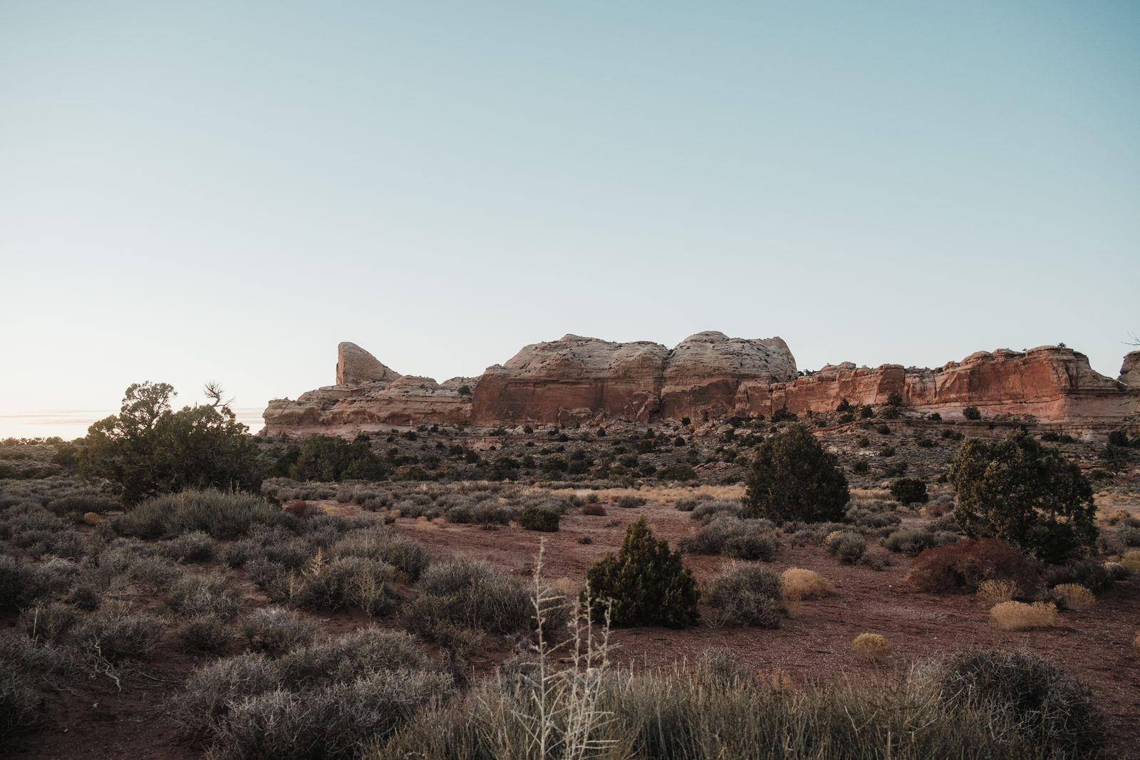
The place is the Hanford Site, a federal reservation in southeastern Washington created in 1943 for the Manhattan Project. The mechanism was not a conservation program but exclusion: reactors and chemical plants occupied relatively small parts of a roughly 586-square-mile site, while broad safety and security buffers around them escaped much of the farming, grazing and development that transformed the surrounding Columbia Basin. In 2000, about 195,000 acres of those lands became the Hanford Reach National Monument, protecting what federal wildlife officials describe as one of the Columbia Basin’s last large blocks of shrub-steppe. The Environmental Protection Agency’s Hanford overview and the U.S. Fish and Wildlife Service’s federal record for the monument trace that unlikely overlap of weapons history and habitat protection.
That does not make Hanford a pristine wilderness. Parts of the reservation contain some of the country’s most difficult radioactive and chemical contamination, while other tracts were kept largely undeveloped for decades. The ecological story lies in that contrast: the same federal boundary that enclosed plutonium production also prevented large pieces of surrounding desert from being converted to other uses.
The land the Manhattan Project locked away
Before Hanford became a federal reservation, the Columbia River corridor supported Native communities as well as farms, orchards, ranches and the small towns of Hanford and White Bluffs. In early 1943, residents were ordered from land that the government had chosen for a secret wartime industrial complex. The National Park Service records the displacement of Priest Rapids Valley residents as the Manhattan Project took control.
The location offered the qualities plutonium production required: isolation, enormous quantities of cooling water from the Columbia and abundant hydroelectric power. Construction crews arrived by the tens of thousands, while most workers were told little about the ultimate purpose of the plants rising in the desert.
At the center of the operation was B Reactor, completed in September 1944 as the world’s first large-scale plutonium-production reactor. The Department of Energy records that Hanford’s first three reactors produced plutonium for the Trinity test and for the weapon detonated over Nagasaki.
Hanford expanded after World War II instead of disappearing. Nine production reactors eventually stood along the Columbia, with chemical-separation plants on the central plateau extracting plutonium from irradiated uranium. Production continued into the Cold War before ending in the late 1980s.
What the buffer preserved
The reactors needed distance around them. Safety and security requirements left huge stretches of the reservation outside the industrial core, and federal records say those protective buffer zones remained relatively undisturbed for more than four decades. That accidental restraint mattered because shrub-steppe elsewhere in the Columbia Basin was steadily fragmented by agriculture, roads, development, invasive plants and fire.
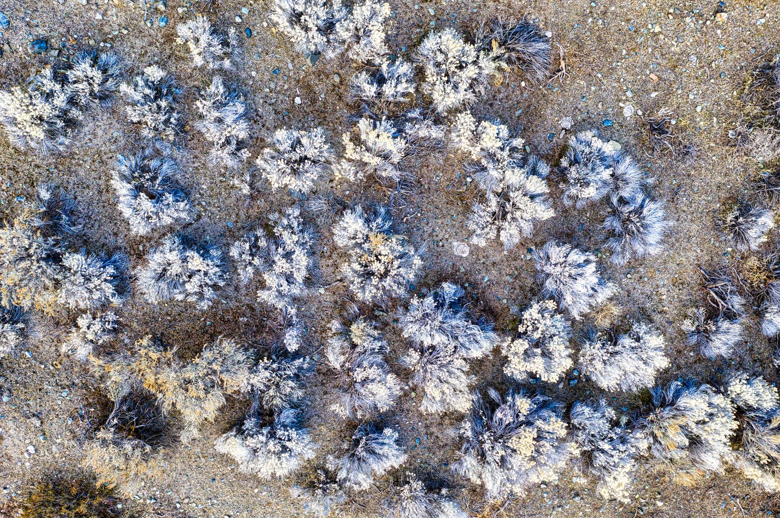
The surviving landscape is not just sagebrush. Federal wildlife inventories list about 725 vascular plant species, more than 200 bird species, 42 mammals, 45 fish species and more than 1,600 insect species on the Hanford Reach National Monument. The U.S. Fish and Wildlife Service describes the former security lands as a refuge for increasingly scarce natural resources.
Some of its rarest inhabitants occupy extremely narrow ranges. Umtanum desert buckwheat survives in a single known population on a Benton County ridge, while the White Bluffs bladderpod is concentrated along the pale cliffs overlooking the Columbia. Both are federally listed as threatened, according to the Fish and Wildlife Service.
The river adds another layer. The Hanford Reach contains 51 miles of free-flowing Columbia River, the last non-tidal, free-flowing section of the Columbia in the United States. Fall chinook return to its gravel beds each year, while the surrounding bluffs and shrub-steppe support eagles, mule deer, coyotes and other wildlife. Federal monument guidance describes the reach as both a major fishery and the surviving free-flowing section of the river.
This is not untouched wilderness
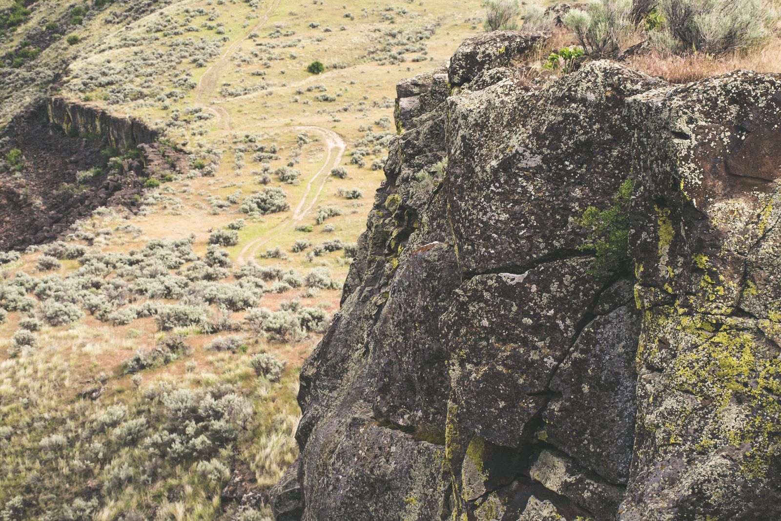
The word “preserved” needs qualification. Hanford’s shrub-steppe has burned repeatedly, and invasive annual grasses threaten portions of the landscape. The absence of subdivisions and intensive agriculture did not freeze the ecosystem in 1943; it simply removed some of the pressures that erased comparable habitat elsewhere.
The monument also contains roads, former military facilities, archaeological sites and remnants of decades of federal activity. Some areas require active restoration. The ecological value comes from the scale of habitat that survived, not from an illusion that human disturbance never occurred.
Nor was the landscape suddenly discovered when the Cold War ended. Scientists had studied Hanford’s plants, animals, soils and river environment for decades while plutonium production was still underway. By the time the weapons mission ended, managers already had an unusually long record showing what had persisted behind the reservation boundary.
That distinction explains why the Hanford story is stranger than a conventional tale of ecological recovery. Much of the most valuable habitat did not have to be rebuilt after suburban development or intensive cultivation. Large pieces had simply been left with comparatively little development because the land surrounding a nuclear-weapons complex had another job: keeping people away.
The contamination sits beside the refuge
That same history produced an environmental liability on an entirely different scale. Hanford generated enormous quantities of radioactive and chemical waste, some discharged to the ground and some stored in underground tanks. Today, cleanup crews are treating groundwater beneath a roughly 60-square-mile area containing billions of gallons of contaminated water, according to Hanford’s groundwater program.
The tanks remain one of the hardest problems. Washington regulators say three single-shell tanks are actively leaking, while many others are assumed to have leaked in the past. The Washington State Department of Ecology tracks those leaking tanks and the measures intended to keep their contents from eventually reaching groundwater and the Columbia.
The chemistry of Hanford’s nuclear waste has challenged engineers for decades. The reservation holds about 56 million gallons of radioactive and chemically hazardous tank waste in 177 underground tanks, the residue of plutonium production stretching from World War II through the Cold War.
That contamination is why the ecological paradox should not be romanticised. Hanford did not become valuable habitat because nuclear weapons were environmentally benign. Its industrial core created a cleanup problem likely to span generations, while the security buffer around that core happened to spare large areas from a different kind of disturbance.
Why the protected landscape lasted
When weapons production ended, the outer lands did not simply return to their pre-1943 status. Cleanup operations still required controlled access, and the ecological importance of the buffer had become impossible to ignore. The security landscape had acquired a second identity.
President Bill Clinton formalised much of that identity in June 2000 by creating the Hanford Reach National Monument from roughly 195,000 acres. The monument joined the river corridor, the Wahluke Slope, the Arid Lands Ecology Reserve and other tracts into a protected landscape while leaving the Department of Energy with ownership and continuing responsibilities connected to Hanford.
The result is an unusual division of space. Some monument lands are open for hiking, hunting, fishing and boating. Other areas remain restricted because of cleanup work, sensitive natural resources, cultural sites or continuing federal operations. The old notion of one sealed fence surrounding an empty reservation no longer describes the whole place.
What remains true is the mechanism that made large-scale conservation possible. For decades, development pressure inside the federal boundary was dramatically lower than outside it. By the time permanent conservation arrived, much of the habitat it sought to protect was still there.
The fence no longer tells the whole story
Hanford’s cleanup has now entered a phase the original draft placed incorrectly in the future. Low-activity tank waste began being vitrified in October 2025, meaning it is mixed with glass-forming material, heated in massive melters and solidified in stainless-steel containers. By May 2026, workers had turned more than 100,000 gallons of tank waste into glass, according to the Department of Energy.
That milestone does not mean Hanford is nearly finished. Tens of millions of gallons remain in the tank system, contaminated groundwater is still being pumped and treated, and major facilities and waste sites remain under remediation. The cleanup and the ecological reserve now operate on parallel timelines measured in decades rather than years.
The shrub-steppe faces its own pressures. Wildfire, invasive grasses and a changing climate can alter habitat even where ploughs and housing developments never arrive. Protecting what survived the twentieth century therefore requires more than maintaining an old security boundary; it requires active management of a landscape that was spared conversion but not ecological change.
At dusk along the Hanford Reach, the paradox is visible without turning it into a lesson. Sagebrush stretches toward the Columbia while old reactor buildings remain on the horizon. One part of the landscape is being dismantled and treated because of what happened there after 1943. Another survives because, for the same reason, so much of the surrounding land was left alone.