On the Loess Plateau in north-central China — a roughly 640,000-square-kilometre expanse of powdery yellow silt approximately the size of France — the Yellow River once carried so much sediment that a single cubic metre of its water could hold nearly 40 kilograms of soil. By the early 2000s, after two decades of terracing, tree planting, and check dams, the annual sediment load had fallen from around 1.6 billion tonnes a year in the 1970s to roughly 250 million tonnes. That is close to an 85 percent drop, and it happened faster than almost anyone modelling the plateau’s erosion had predicted.
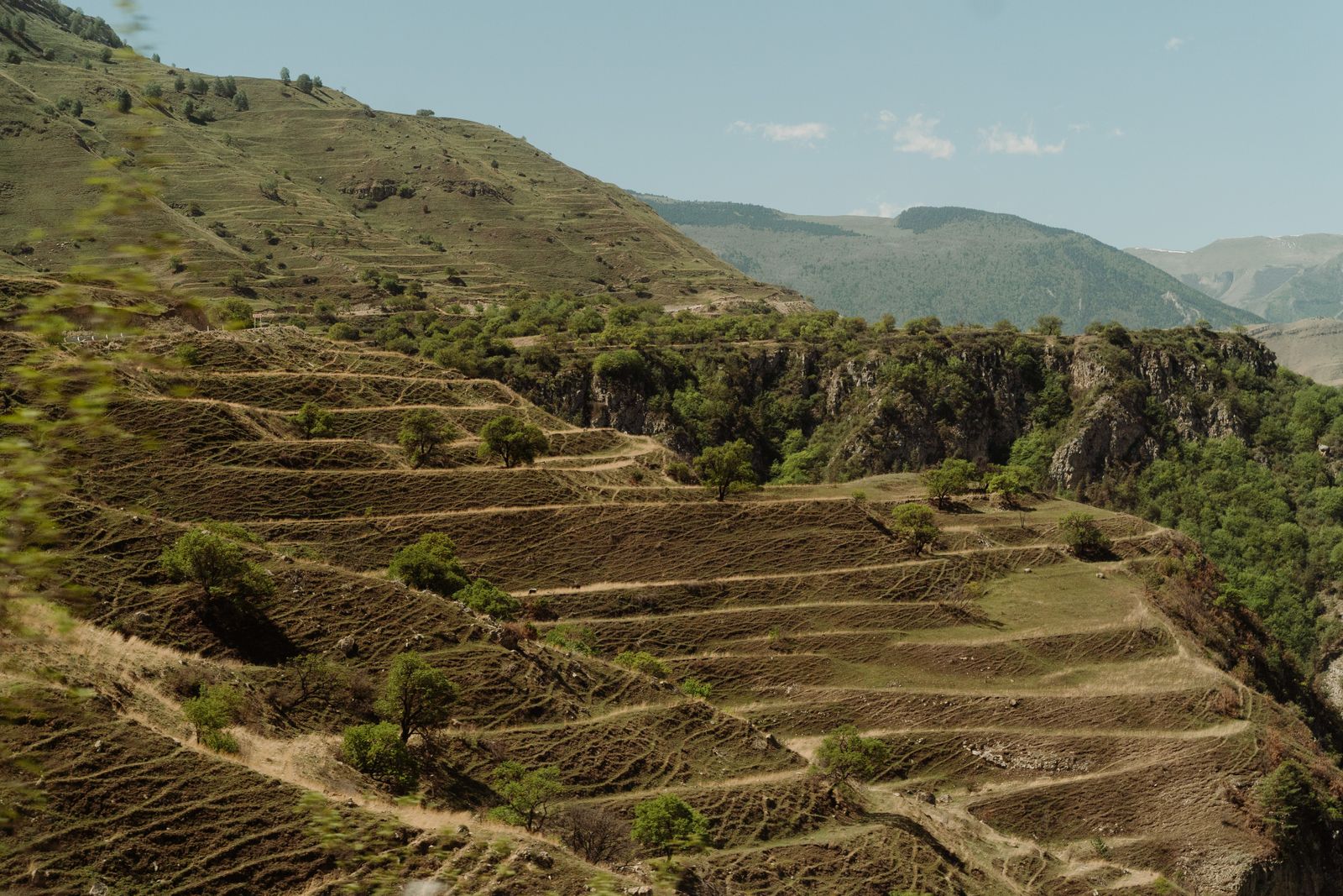
The mechanism was not glamorous. Chinese engineers, backed by World Bank funding in the mid-1990s and then by the domestic Grain-for-Green programme launched in 1999, cut horizontal steps into millions of hectares of sloping farmland, paid farmers to abandon the steepest fields, and built tens of thousands of small earthen dams across the gullies that had been bleeding topsoil into the river since the Han dynasty. The plateau stopped shedding itself. The river downstream ran clearer than it had in recorded memory.
The muddiest river in the world
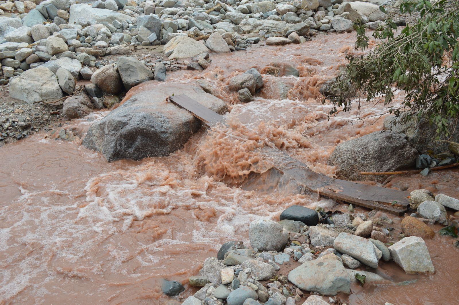
The Yellow River — the Huang He — earned its name honestly. Its water is stained ochre by loess, a wind-blown silt deposited over millions of years in layers up to 300 metres thick. Rain falling on bare loess behaves almost like water on flour. It carves. A single summer storm on an unterraced hillside can strip several centimetres of soil in a matter of hours.
For most of the twentieth century, the river carried about 1.6 billion tonnes of that silt to the sea each year, many times the sediment load of the Mississippi. The delta grew by tens of square kilometres annually. Downstream, the riverbed rose above the surrounding farmland, held in place by ever-higher levees. Breaches killed millions across the centuries. The nickname “China’s Sorrow” was not rhetorical. Earlier analysis of Yellow River sediment has also shown how the same loess deposits preserve long climate records.
What terracing and Grain-for-Green actually did
A terrace is a very old idea executed at a very new scale. Cut a hillside into flat steps, and rainfall no longer runs downhill as a sheet. It pools, soaks in, and moves through the soil rather than across it. Watersheds in central China have shown that riverine sediment and nutrient dynamics respond to landscape-scale interventions in complex, seasonal ways, with vegetation cover and slope geometry doing much of the heavy lifting.
On the Loess Plateau, the terracing came in three overlapping forms. Level bench terraces on gentler slopes gave farmers stable cropland. Contour ridges on steeper ground slowed runoff without full flattening. And in the gullies — the deep, branching wounds that had been the plateau’s main sediment conveyor belts — engineers built check dams: low earthen barriers designed to trap silt behind them, gradually filling the gully with new, flat, farmable land.
By the mid-2010s, more than 58,000 check dams had been built across the plateau. Each one is small. Together they hold back an estimated 10–20 billion tonnes of sediment that would otherwise have reached the Yellow River.
Terracing alone would not have worked without a policy shift. In 1999, Beijing launched the Sloping Land Conversion Programme — usually translated as Grain-for-Green — which paid farmers grain subsidies and cash to retire the steepest cultivated land and plant it with trees or grass. By the mid-2010s, roughly 28 million hectares had been converted nationwide, with the Loess Plateau receiving the largest share. Independent reporting on the programme confirms the scale of the conversion.
The vegetation cover on the plateau rose from around 32 percent in 1999 to over 60 percent by 2018. Roots held the soil. Canopies broke the impact of raindrops. The bare, tawny hills that had defined the region in photographs from the 1980s turned green in a single generation.
The sediment collapse
The numbers downstream moved faster than the models expected. Sediment discharge at monitoring stations, which sit just before the river enters its historically dangerous lower reach, averaged about 1.6 billion tonnes annually in the 1950s–1970s. By the 2000s it was around 300 million tonnes. In the 2010s it dropped further, to roughly 250 million tonnes a year. Some individual years came in under 200 million.
The scale of that reduction — close to 85 percent — is comparable in relative terms to what dam construction and bank revetments achieved on the Mississippi, though by different means. As Houma Today reported on the Mississippi system, revetments alone cut bank caving by about 90 percent, with dams across the watershed substantially reducing sediment contributions since 1950. Two vast river systems, both starved of silt within a human lifetime, for opposite reasons: one to protect shipping and farmland, the other to stop a plateau from washing away.
The delta stopped growing and where the sediment goes now
There is a cost to a river that stops carrying silt. The Yellow River delta, which had been advancing into the Bohai Sea at rates approaching 2 kilometres a year in the mid-twentieth century, began retreating in the early 2000s. Wave action now removes more sediment from the coastline than the river deposits. Wetlands that depended on annual silt renewal are shrinking. Fisheries in the Bohai have declined.
The pattern is familiar to anyone who has followed the Louisiana coast, where the leveed Mississippi funnels its remaining sediment off the continental shelf while barrier islands vanish. The Eos journal’s overview of human legacies on river corridors makes the point clearly: alterations to sediment flux ripple through every downstream ecosystem, often in ways that only become visible decades after the intervention.
Some of the silt that used to reach the sea now sits behind check dams, slowly turning into flat, cultivable terraces of new loess-derived soil. Some is trapped in the Xiaolangdi Reservoir, completed in the early 2000s, which the authorities periodically flush in engineered sediment-laden pulses timed to scour the lower riverbed. Some simply stays on the hillsides, held by roots.
The plateau’s rivers themselves have changed character. Flow regimes are lower — vegetation transpires water that once ran off — and the seasonal pulses that shaped the lower Yellow River for millennia have flattened. Research published in Nature Communications has shown that the Loess Plateau itself has long stored large volumes of sediment derived from the northeastern Tibetan Plateau via the upper Yellow River, illustrating the complex storage dynamics that continue to shape the system.
Related work on river control of Chinese dust deposits further underscores how tightly the plateau and the Yellow River are coupled over both short and long timescales.
A hydropower dividend and the trade-offs
Clearer water has a downstream economic effect that was not the point of the programme but has turned out to matter. Sediment abrades turbine blades and fills reservoirs. The sediment reduction has extended the effective lifespan of major reservoirs and increased usable generation capacity, a rare instance of upstream ecological policy paying a direct energy dividend.
The Xiaolangdi reservoir alone was designed with decades of sediment-storage capacity. Reduced input from the plateau has stretched that timeline considerably.
Reforestation on a semi-arid plateau has a water cost. Trees consume more moisture than the sparse grassland and cropland they replaced. Groundwater levels in parts of the Loess Plateau have dropped. Some streams that flowed year-round in the 1980s are now seasonal or dry. The regional water balance has tightened at exactly the moment when climate projections suggest the North China Plain will need every litre it can hold.
There is also the question of what happens when the check dams fill up, as many already have. A full check dam is essentially a terrace at the bottom of a gully — flat, fertile, and vulnerable. If a heavy storm overtops or breaches the dam, the trapped sediment can release in a single catastrophic pulse. Dam failures during extreme rainfall events have been documented, and the frequency of such events is projected to rise.
What the plateau looks like now
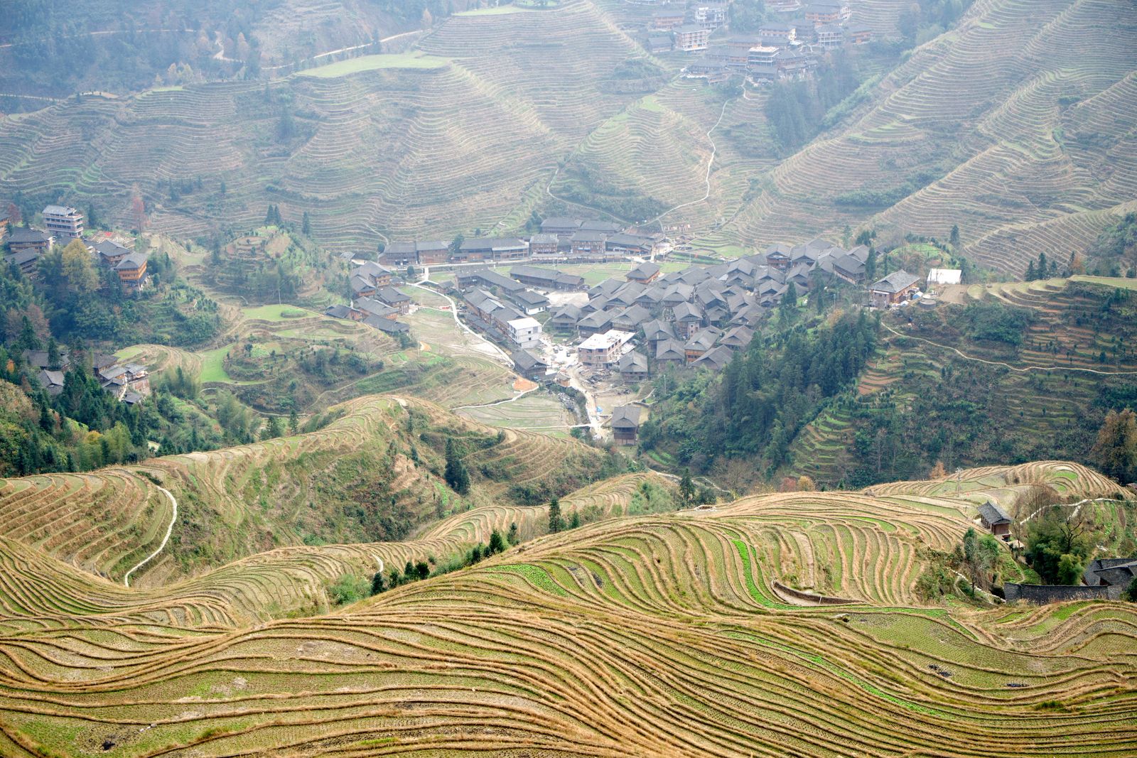
From the air, the Loess Plateau today is a striated landscape of green contour lines, thousands of small check-dam ponds, and the pale terraces cut into what used to be nearly vertical loess cliffs. Villages that were built on the flat tops of ridges — the only stable ground in a country that was steadily eroding from beneath its inhabitants — now overlook stepped fields of millet, apples, and walnut orchards.
The Yellow River, at the point where it turns east across the North China Plain, still carries some silt. It is still yellow. But it is measurably less yellow than at any point since gauging began in 1919. In some years, downstream stretches of the river have run visibly clear for weeks — a sight recorded in local newspapers with the kind of astonishment usually reserved for eclipses.
Whether the reduction will hold is a separate question. Vegetation cover is only as durable as the policies that maintain it. Grain-for-Green subsidies are not permanent. The plateau’s soil, ancient and deep, remembers what it was doing before.