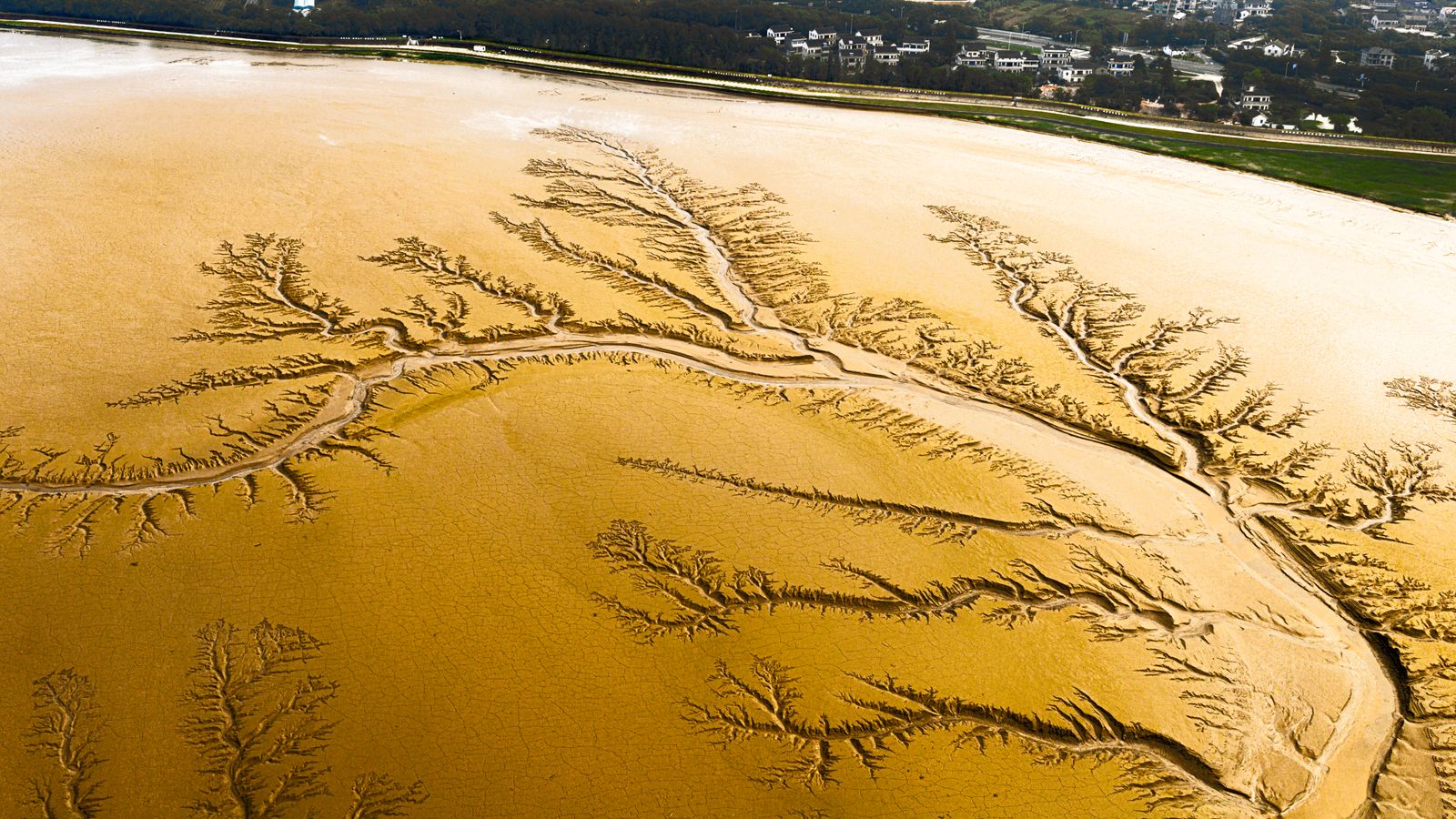
It was the Colorado River, and it reached the Gulf of California because the United States and Mexico used Minute 319 to schedule a 105,392-acre-foot environmental pulse from March 23 to May 18, 2014. By the end of the growing season, biologists had recorded Fremont cottonwood and Goodding’s willow seedlings, but a USGS-indexed field study found that native trees established mainly where crews had cleared and shaped the ground; unmanaged sites produced few native seedlings, while non-native tamarisk established much more readily.
The 57-day release was neither a natural flood nor a permanent return. Water advanced more than 120 kilometres through the delta and briefly met the estuary, but the hydrologic record shows that most of the volume soaked into the channel, while NASA documented the river-sea connection in mid-May. What happened next was real, visible and far more complicated than a desert river simply coming back to life.
A river cut off below its last dam
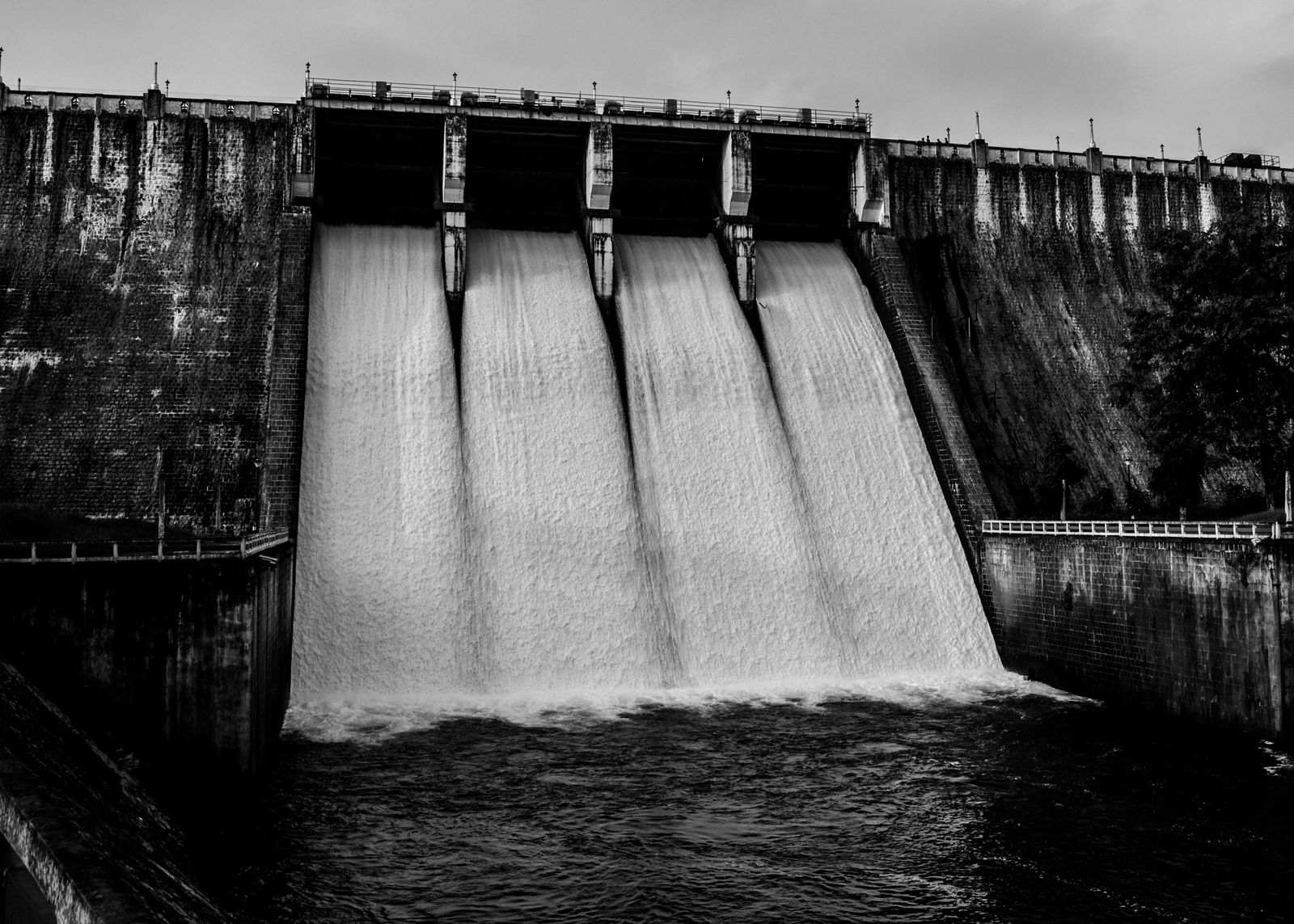
The Colorado runs roughly 1,450 miles from the Rocky Mountains toward the Gulf of California. At Morelos Dam, which straddles the U.S.-Mexico border, nearly all remaining water is normally diverted into canals, leaving the final stretch through the delta with little or no river flow; the 2014 pulse entered about 70 miles of lower channel.
A century of compacts, treaties, reservoirs and diversions turned the river’s lower end into plumbing for farms and cities. That pressure belongs to a wider pattern of freshwater loss across southwestern North America, but in the Colorado Delta the effect became unusually stark: a river could still exist upstream while its final channel lay dry.
By the early 1960s, the Colorado had stopped reaching the sea in ordinary years, although exceptional wet periods still sent water through, including in 2000. The delta that remained was only a fragment of the braided channels, lagoons and riparian forest described in the early twentieth century, and about 90 percent of its wetlands had shrivelled.
What survived was uneven. Agricultural return flows supported scattered ponds and marshes, salt-tolerant tamarisk occupied long reaches, and patches of native cottonwood and willow persisted where groundwater stayed shallow enough for their roots.
How engineers built a 57-day spring
Minute 319, signed in November 2012 as an addendum to the 1944 U.S.-Mexico water treaty, created the legal opening for the experiment. Its environmental provisions divided water between one large pulse and smaller base flows intended to support restoration over the agreement’s five-year term.
The release was timed around Fremont cottonwood and Goodding’s willow reproduction. Their short-lived seeds need exposed, moist soil, and their roots must keep pace with a falling water table after germination, conditions that spring floods once created without human scheduling.
Flow through Morelos Dam began on March 23, climbed to a planned peak of 4,238 cubic feet per second on March 27 and then tapered until May 18. The shape imitated the rise and long recession of snowmelt, but the volume was less than one percent of the river’s average pre-dam annual flow.
Most of the water left Morelos through the main channel, while smaller portions entered farther downstream through two Mexicali Valley irrigation spillways. Those downstream releases mattered because the dry upper channel was intensely absorbent, and the added water helped create a continuous wet path to the estuary.
What grew after the water passed
At the end of the 2014 growing season, surveys found cottonwood and willow seedlings in parts of the inundated corridor and at Laguna Grande restoration plots. Their presence answered one of the experiment’s questions, but their distribution also showed that water alone was not enough.
On unmanaged reaches, native woody seedlings established at low rates because seed sources were sparse, groundwater was too deep in places and competing vegetation closed in quickly. Prepared sites did better because crews had removed plants, exposed bare soil, reshaped the land and followed the pulse with base-flow irrigation.
Satellite measurements captured a broader response than the seedling plots. Landsat imagery showed a marked green-up in 2014, including beyond the directly flooded strip where the pulse had raised groundwater within reach of existing roots.
Much of that first surge in plant cover came from annuals, marsh vegetation and existing trees rather than a new native forest. The binational monitoring report recorded a short-lived rise in greenness across the riparian corridor, followed by a decline to or below 2013 levels in most reaches by 2017.
Birds responded to the temporary improvement in habitat. Monitoring found bird abundance 20 percent higher and diversity 42 percent higher in the floodplain after the pulse, but abundance declined in later years, another sign that a single release could trigger a response without sustaining it indefinitely.
Why one pulse became targeted restoration
The experiment exposed a hard physical limit. Ninety-one percent of the pulse infiltrated within the first 61 river kilometres below Morelos Dam, and only about one percent arrived in the upper estuary as surface flow.
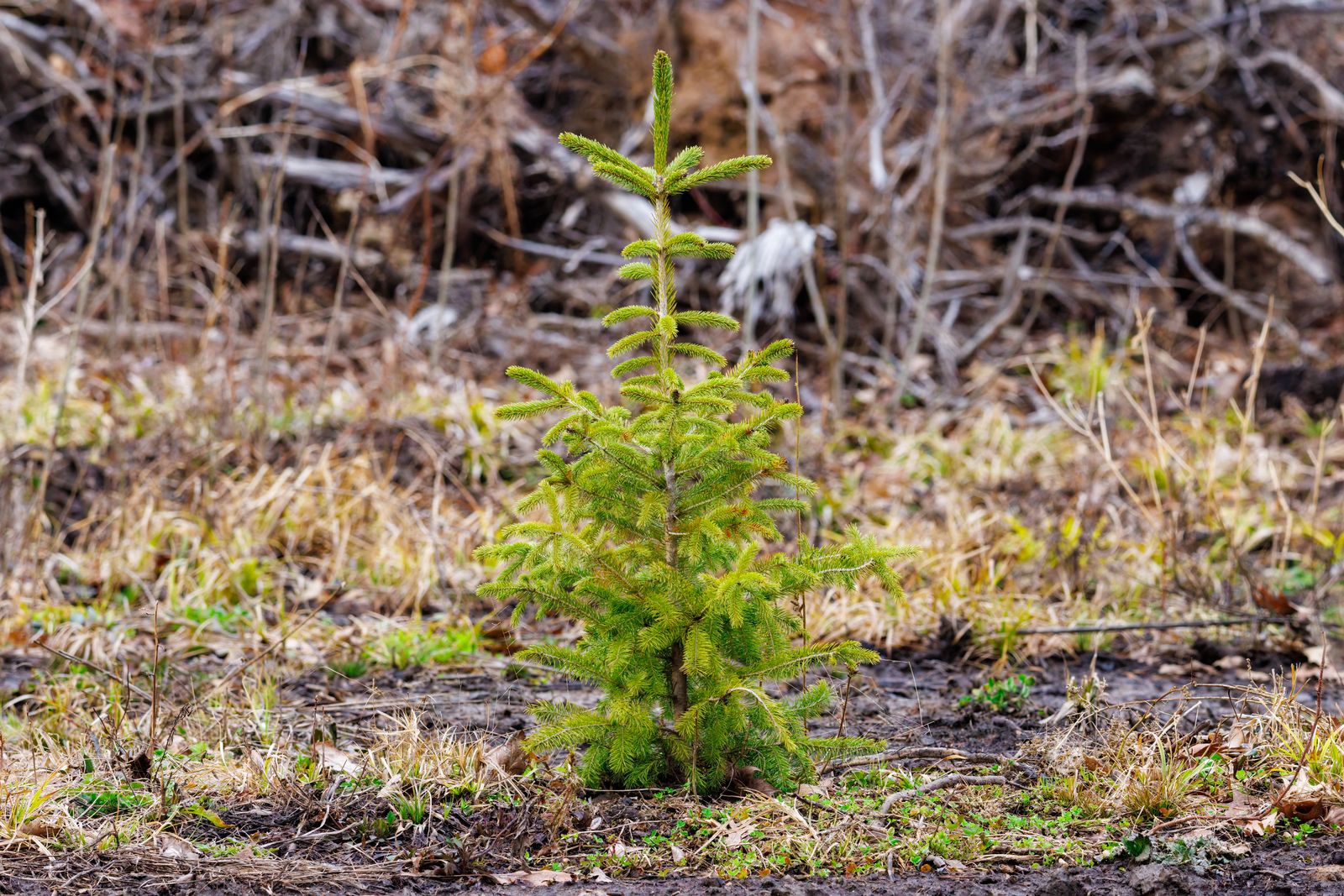
It also exposed an ecological limit. Cottonwood and willow seedlings in an unmanaged upper reach occupied less than one percent of surveyed transects in 2014 and disappeared from those transects over the next several years, while seedlings at irrigated, prepared plots persisted more successfully.
Minute 323, the successor agreement, therefore shifted the emphasis from one spectacular surge toward smaller deliveries aimed at specific restoration sites and downstream river reaches. Managers routed water through irrigation canals to bypass the driest, most absorbent sections before returning it to the channel.
A 2026 assessment of environmental deliveries from 2014 through 2025 counted additional in-channel flows in 2021, 2022, 2024 and 2025, with another under way in 2026. By the end of 2025, restoration crews had established 1,381 acres of riparian habitat and planted more than 250,000 nursery-grown trees across three prepared sites.
The strategy has a parallel in the Netherlands, where engineers have deliberately reconnected rivers with selected floodplains instead of treating every overflow as failure. Spacewar’s account of Room for the River describes a much larger programme, but the shared principle is simple: reconnection works best when water, land shape and timing are designed together.
The living corridor remains conditional
The restored patches are not self-sustaining. The 2026 assessment estimated that preserving the existing sites requires about 6,890 acre-feet of irrigation water each year, plus continuing maintenance and monitoring, an annual volume equal to roughly 0.05 percent of the Colorado’s average flow.
The political framework is also unsettled. After long-term consensus was not reached, the Bureau of Reclamation issued an August 21, 2026 decision framework for 2027 through 2036 and the first operating guidelines under it, covering 2027 and 2028.
Minute 323 runs through the end of 2026, so the delta’s next chapter depends on renewed commitments from Mexico, the United States and conservation partners. The science now identifies what that commitment must buy: water delivered past the most absorbent reaches, prepared ground, irrigation after planting and enough monitoring to respond when fire, drought or falling groundwater undoes the work.
Below Morelos Dam, the broad channel is still dry much of the time. Yet in the managed plots, cottonwoods and willows now rise above paths that were bare when the gates opened in March 2014, and birds move through shade sustained by measured releases rather than a permanent river.