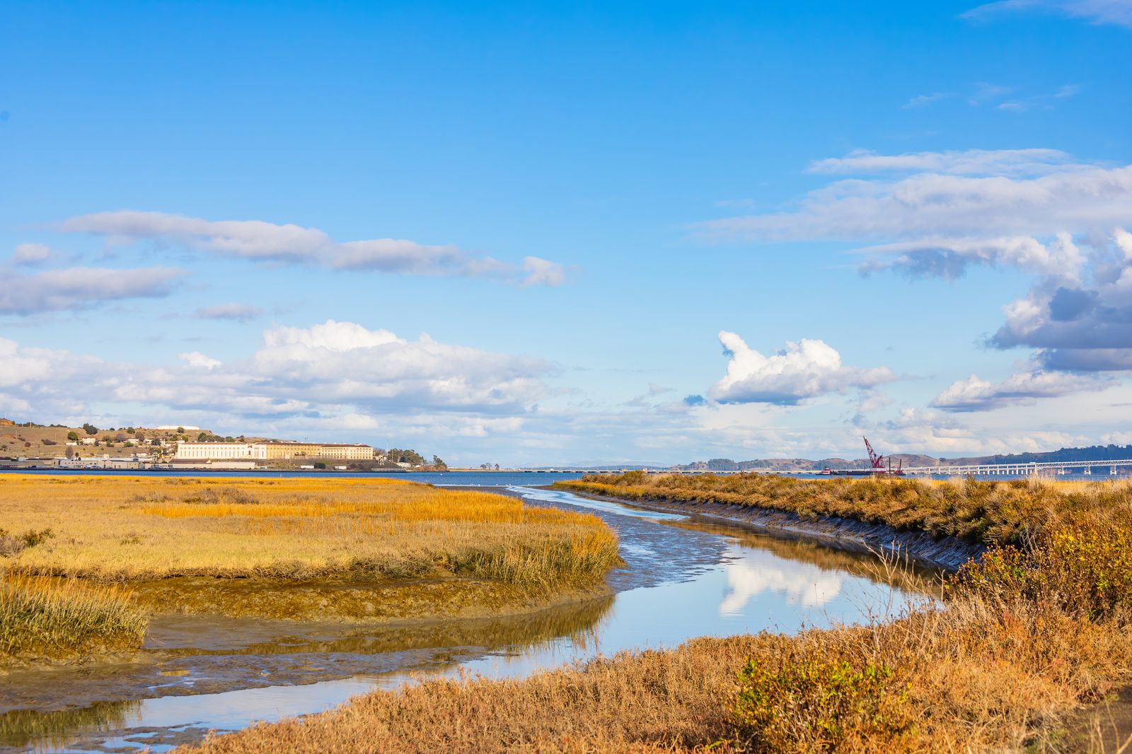
On Oregon’s Salmon River estuary, the answer is a restored connection between the Pacific tide and marshland that had been cut off for agriculture. Dikes and tide gates installed around the early 1960s were breached or removed in stages in 1978, 1987 and 1996, and those early projects ultimately restored 339 acres of tidal marsh and more than three miles of tidal channels; the three study marshes had been restricted for roughly 17, 26 and 35 years.
The physical mechanism is simple even if the ecological recovery is not. Break the barrier that keeps the flood tide out, and brackish tidal water can again move through channels that had functioned as agricultural drainage, while fish regain access to shallow marsh habitat that had been isolated behind the dike.
The experiment sits within the Cascade Head Biosphere Reserve, which UNESCO first nominated in 1976 and later expanded far beyond its original footprint. UNESCO describes the restored Salmon River estuary as a meeting point between fresh and salt water that provides rearing habitat for juvenile fish and smolts.
What the barriers changed
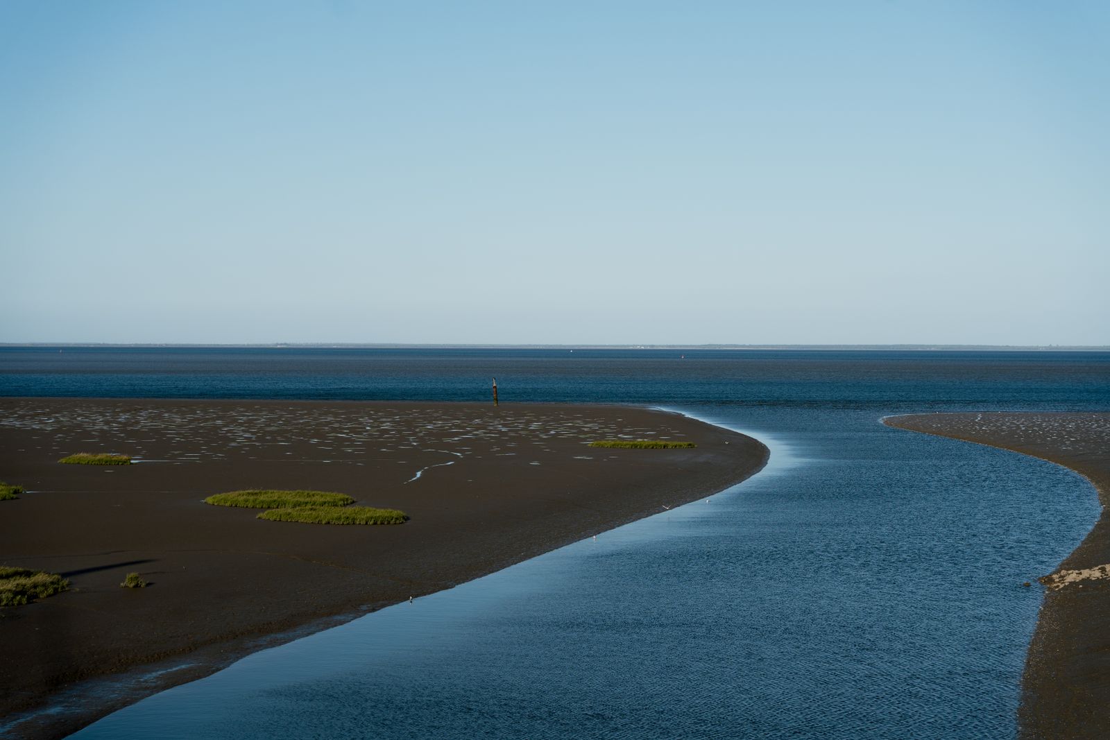
Before restoration, most of the lower estuary had already been remade for farming. By the early 1960s, about 75% of the lower Salmon River marsh had been isolated by dikes and tide gates and converted to pasture, while the barriers also cut migrating fish off from tidal channels.
A conventional flap-style tide gate is useful precisely because it interferes with the natural two-way movement of the tide. Drainage water can leave the protected land, while incoming high water is restricted, a pattern that NOAA Fisheries says can also block access to estuarine rearing habitat for juvenile salmon.
That change does more than keep a field dry. It separates shallow tidal channels from the river, interrupts the delivery of sediment and changes the elevation, vegetation and aquatic communities of land that had once flooded with the estuary.
At Salmon River, the physical legacy persisted long after tidal water returned. A federal review of the first restoration area found that after 10 years the former pasture had not simply reverted to the high marsh that preceded farming, because subsidence had left the land lower than comparable undiked marshes and sediment accumulation would take decades to rebuild elevation.
The restoration happened in pulses
The first major experiment came in 1978, when two dikes were removed and tidal water was allowed back onto former pasture. That site became the oldest member of a natural experiment in which scientists could compare marshes reopened at different dates with nearby marsh that had never been diked.
A second restoration followed in 1987 and another in 1996, creating three recovering marshes separated by nine-year intervals. University of Washington researcher Ayesha Gray later used that sequence to compare how vegetation, invertebrates and fish communities changed as restored marshes aged.
The work did not stop in 1996. Between 2006 and 2014, partners restored tidal influence to another 108 acres, reconnected more than 2.5 miles of stream channel and floodplain, removed more than two miles of dikes and took out three additional tide gates.
That chronology is important because it changes the picture from one rusty flap being pulled off a culvert and an ecosystem switching on overnight. Hydrologic access can change as soon as a barrier is opened, but channels, marsh elevation, vegetation and animal communities follow on different clocks.
What the fish actually did
Juvenile Chinook did use the recovering marshes, and Pacific staghorn sculpins were abundant across much of the estuary. Gray’s monitoring also showed why “the fish came back immediately” is too simple: staghorn sculpins were scarce in the youngest 1996 marsh during 1998 before their density began increasing in spring 1999.
The restored sites did not immediately perform exactly like undiked marsh either. A 2023 synthesis reported that Gray’s spring observations averaged about 51 subyearling Chinook per hectare at restored sites versus 177 per hectare at the reference site, evidence of a recovery trajectory rather than instant equivalence.
Growth data require the same restraint. David Hering’s Oregon State University research compared juvenile Chinook in a natural channel with an adjacent marsh restored in 1996 and found similar growth rates in the two channels, although seasonal variation was greater at the restored site.
The fish nevertheless spent meaningful time inside both marsh systems. Hering estimated average minimum residence at roughly 10 days in each channel, with some individually marked salmon detected for much longer, showing that a reconnected tidal channel can function as habitat without requiring claims of unusually rapid growth.
Why the land recovers more slowly than the tide
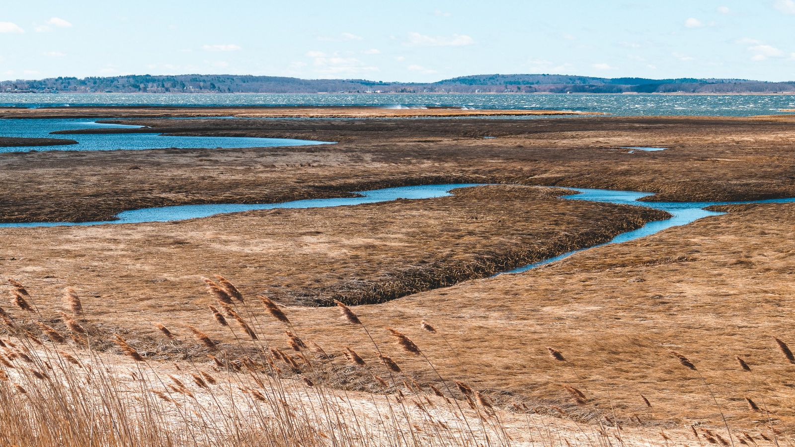
The first flood tide can cross a newly opened breach quickly, but elevation lost during decades behind a dike cannot be replaced in an afternoon. At the 1978 Salmon River site, researchers found that 10 years of renewed tidal influence still had not recreated the former high-marsh condition.
That lag also appears in the fish data. The lower average Chinook density in the recovering Salmon River marshes is consistent with a habitat that can become useful before it becomes functionally identical to an older reference marsh.
Each tide can carry sediment into the reopened system, while marsh plants trap part of it and gradually change the surface. Over years and decades, that process can raise portions of a subsided marsh, reshape channels and alter which plants and animals can occupy different elevations.
The Skagit Delta shows why the decision is contested
The same mechanics create a much harder choice when a tide gate still protects working agricultural land. At No Name Slough in Washington’s Skagit Delta, NOAA Fisheries said replacement would extend the structure’s expected life by about 50 years, which is why its 2024 biological opinion required measures intended to offset another five decades of effects on estuarine access for Puget Sound Chinook.
The Swinomish Indian Tribal Community moved to intervene in the federal litigation on November 21, 2024, supporting the biological opinion. Its statement says the approximately century-old No Name Slough tide-gate complex restricts natural processes across more than 200 acres of estuary habitat and impedes juvenile Chinook access when incoming tides are high.
That dispute makes the tradeoff visible without reducing it to a simple choice between farmers and fish. Tide-control infrastructure keeps low agricultural land usable, while the same physical separation can remove shallow estuarine habitat from the routes available to juvenile salmon.
The same reconnection is happening elsewhere
Salmon River is not an isolated experiment. In Washington’s Nisqually River Delta, removal of the century-old Brown Farm Dike in 2009 returned tidal flow to 762 acres of estuary, and subsequent monitoring has followed how fish and wildlife use the reconnected landscape.
Farther south, San Francisco Bay is pursuing tidal-wetland reconnection partly as habitat restoration and partly as protection against rising water. By 2025, the Bay Area had reached 57,800 acres of restored tidal marsh, with wetlands also being treated as a natural buffer against future floodwaters.
The geometry appears in other forms in Spacewar’s coverage of Central Valley floodplain reconnection, Platte River sandbars and Everglades dry-season refuges. At Salmon River, the clearest marker is quieter: twice each day, water can move again across ground that spent decades behind a barrier, and juvenile fish can enter channels that had disappeared from their usable estuary.